Joe Lombardi

Managing Editor

[email protected]

Joe Lombardi, Daily Voice's Managing Editor, has spent his professional career as a newsroom director, manager, editor, producer, writer, reporter and broadcaster who has worked at major websites, television networks, newspapers, magazines and radio stations and as a book author.

The Manhattan native, Irvington (NY) High School and University of Dayton graduate has been actively involved in web publishing for more than 25 years. In addition, he also has expertise in marketing, public relations and social media.

Lombardi rejoined Daily Voice in September 2013 as managing editor after serving as sports editorial consultant from August 2011 through January 2012. He was named to oversee editorial operations in the fall of 2017.

Joe has previously worked with:

Joe Lombardi's Contributions
Gridlock On I-95 After Hit-Run Crash Gridlock On I-95 After Hit-Run Crash Gridlock On I-95 After Hit-Run Crash
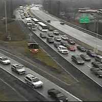
Gridlock On I-95 After Hit-Run Crash This story has been updated. State Police are investigating a hit-and-run crash which occurred Thursday morning northbound on I-95 near Exit 18B (White Plains/Mamaroneck Avenue) in which a tow-truck driver was struck just before 7 a.m. The driver was transported to Greenwich with serious physical injuries. The accident is being reconstructed by the New York State Police Collision Reconstruction Unit (CRU) and is still under investigation. The crash initially took out two lanes. One of those lanes reopened just prior to 9 a.m. Motorists are advised to take the Hutch or Bronx River Parkway…
Winter Mix Will Make For Messy Morning Commute In Armonk Winter Mix Will Make For Messy Morning Commute In Armonk Winter Mix Will Make For Messy Morning Commute In Armonk
Winter Mix Will Make For Messy Morning Commute In Armonk The Lower Hudson Valley will be spared from any significant accumulating snowfall from the Nor'easter moving through the area, but motorists should be prepared for slippery conditions during Thursday's morning commute. There is a 20 percent chance of light snow after 1 a.m., with snow and sleet likely before 9 a.m., according to the National Weather Service. The precipitation will be all liquid after 9 a.m. as the day's high temperatures reaches the low 40s. The chance of precipitation is 100 percent. Snow and sleet accumulation of less than a half-inch are possible. Rain is likely, mainly …
Snow Likely To Arrive Early Morning In Putnam, Weather Advisory Issued Snow Likely To Arrive Early Morning In Putnam, Weather Advisory Issued Snow Likely To Arrive Early Morning In Putnam, Weather Advisory Issued
Snow Likely To Arrive Early Morning In Putnam, Weather Advisory Issued PUTNAM COUNTY, N.Y. -- A Nor'easter that could bring as much as four inches to Putnam Thursday has resulted in a Winter Weather Advisory being issued by the National Weather Service. The advisory is in effect from 5 a.m. Thursday to 1 p.m. Thursday and was issued at 3:33 p.m. Wednesday by the weather service. The projected snow accumulation range is 2 to 4 inches in Putnam with more snow in areas farther north and with higher terrain. Snow is expected early in the morning which could make for a hazardous morning commute. Be prepared for snow covered and slippery roads and limited visibilit…
Weather Advisory In Effect For Dutchess With 6 Inches Accumulation Possible Weather Advisory In Effect For Dutchess With 6 Inches Accumulation Possible Weather Advisory In Effect For Dutchess With 6 Inches Accumulation Possible
Weather Advisory In Effect For Dutchess With 6 Inches Accumulation Possible DUTCHESS COUNTY, N.Y. -- A Nor'easter that could bring as much as a half-foot of accumulating snow to parts of Dutchess on Thursday has resulted in a Winter Weather Advisory being issued by the National Weather Service. The advisory is in effect from 7 a.m. Thursday to 7 a.m. Friday and was issued at 2:56 p.m. Wednesday by the weather service. The current outlook calls for a 90-percent chance of snow after 10 a.m. Thursday. Snow is expected to continue through late Thursday evening. It could fall at the maximum rate of a half-inch an hour at times, according to the NWS. The projected snow …
Dutchess Could See Up To 6 Inches Of Snow From Nor'easter Dutchess Could See Up To 6 Inches Of Snow From Nor'easter Dutchess Could See Up To 6 Inches Of Snow From Nor'easter
Dutchess Could See Up To 6 Inches Of Snow From Nor'easter This story has been updated. DUTCHESS COUNTY, N.Y. -- A Nor'easter that could bring as much as a half-foot of accumulating snow to parts of Dutchess on Thursday has resulted in a Winter Weather Advisory being issued by the National Weather Service. The advisory is in effect from 7 a.m. Thursday to 7 a.m. Friday and was issued at 2:56 p.m. Wednesday by the weather service. The current outlook calls for a 90-percent chance of snow after 10 a.m. Thursday. Snow is expected to continue through late Thursday evening. It could fall at the maximum rate of a half-inch an hour at times, according to…
Motorists Involved In Route 35 Head-On Collision ID'd Motorists Involved In Route 35 Head-On Collision ID'd Motorists Involved In Route 35 Head-On Collision ID'd
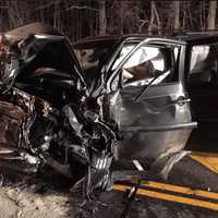
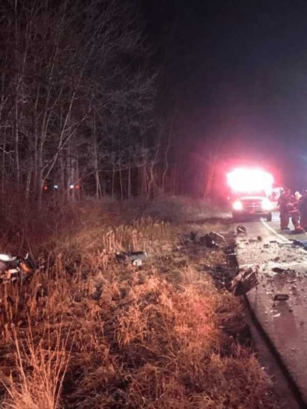
Motorists Involved In Route 35 Head-On Collision ID'd LEWISBORO, N.Y. -- State police have identified the two motorists involved and provided more information on a head-on collision involving two cars late Tuesday night on Route 35 in Cross River.The crash, which happened around 10:36 p.m. occurred east of Route 121 near Mead Street. A preliminary investigation revealed that Sigalit Leitner, 51, of Lewisboro, was traveling east on Route 35 while Patrick Vergara, 27, of Ridgefield, was traveling westbound, police said. Leitner reportedly crossed into the westbound lanes and struck Vergara head-on, according to police. Both drivers were transpor…
Snowfall Projections Updated For Nor'easter Headed To Armonk Snowfall Projections Updated For Nor'easter Headed To Armonk Snowfall Projections Updated For Nor'easter Headed To Armonk
Snowfall Projections Updated For Nor'easter Headed To Armonk This story has been updated. The Lower Hudson Valley will be spared from any significant accumulating snowfall from the Nor'easter moving through the area, but motorists should be prepared for slippery conditions during Thursday's morning commute. There is a 20 percent chance of light snow after 1 a.m., with snow and sleet likely before 9 a.m., according to the National Weather Service. The precipitation will be all liquid after 9 a.m. as the day's high temperatures reaches the low 40s. The chance of precipitation is 100 percent. Snow and sleet accumulation of less than a half-inch are poss…
Head-On Crash Shuts Down Route 35 In Cross River Head-On Crash Shuts Down Route 35 In Cross River Head-On Crash Shuts Down Route 35 In Cross River
Head-On Crash Shuts Down Route 35 In Cross River This story has been updated. LEWISBORO, N.Y. -- State police have identified the two motorists involved and provided more information on a head-on collision involving two cars late Tuesday night on Route 35 in Cross River. The crash, which happened around 10:36 p.m. occurred east of Route 121 near Mead Street. A preliminary investigation revealed that Sigalit Leitner, 51, of Lewisboro, was traveling east on Route 35 while Patrick Vergara, 27, of Ridgefield, was traveling westbound, police said. Leitner reportedly crossed into the westbound lanes and struck Vergara head-on, according to po…
Nor'easter Set To Slam New England Could Impact Armonk Nor'easter Set To Slam New England Could Impact Armonk Nor'easter Set To Slam New England Could Impact Armonk
Nor'easter Set To Slam New England Could Impact Armonk This story has been updated. A Nor'easter with the potential to dump anywhere from 10 to 20 inches of snow in parts of New England could impact the Hudson Valley on Thursday. A mix of intermittent rain and snow is expected in the area Thursday morning. If the track of the storm shifts, significant accumulating snow is possible. A storm track close to the coast would bring mainly rain to the area, according to AccuWether.com. However, a track farther from the coast could bring enough cold air for snow. Wednesday will be a mostly sunny day with a high around 40. The current outlook calls f…
Freezing Rain Advisory In Effect For Dutchess Freezing Rain Advisory In Effect For Dutchess Freezing Rain Advisory In Effect For Dutchess
Freezing Rain Advisory In Effect For Dutchess DUTCHESS COUNTY, N.Y. -- A freezing rain advisory issued by the National Weather Service early Monday evening is in effect until 1 a.m. Tuesday. Pockets of freezing rain will be developing Monday evening, changing to rain overnight as temperature warm up well above freezing. Very cold ground surfaces may allow ice to persist even a couple of hours after temperatures rise above freezing. Untreated surfaces will become icy and slippery before the warmup with ice accumulations of a trace to less than one tenth of an inch. A freezing rain advisory means freezing rain or freezing drizzle will …
15,961 - 15,970 of 19,922 articles